
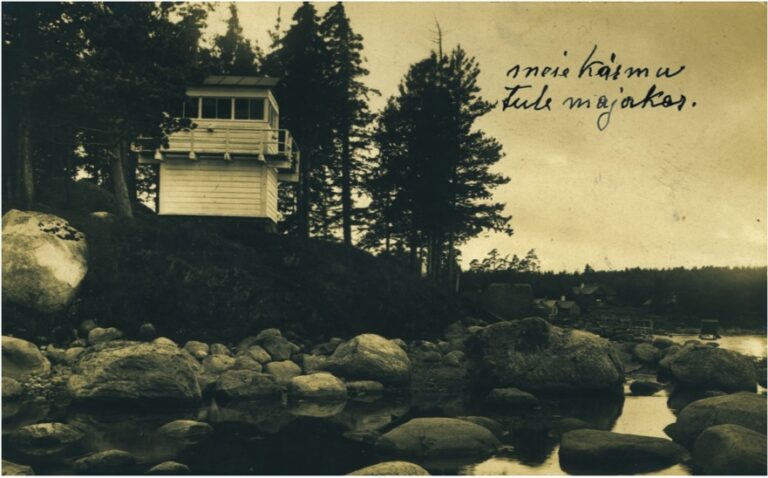
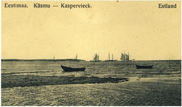
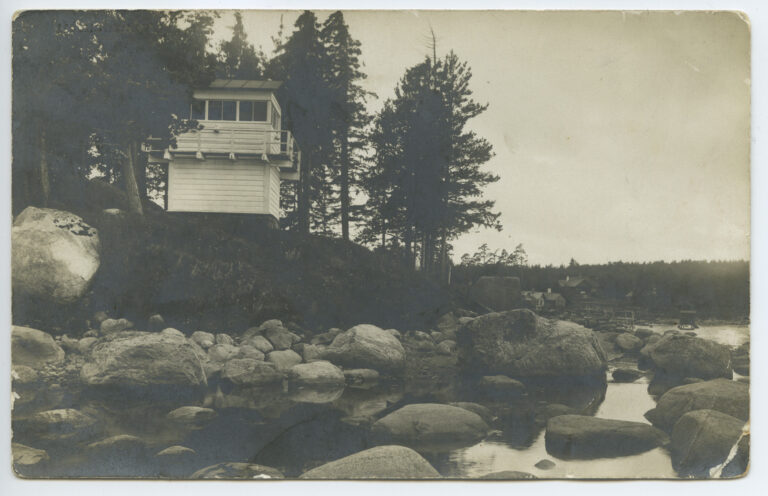
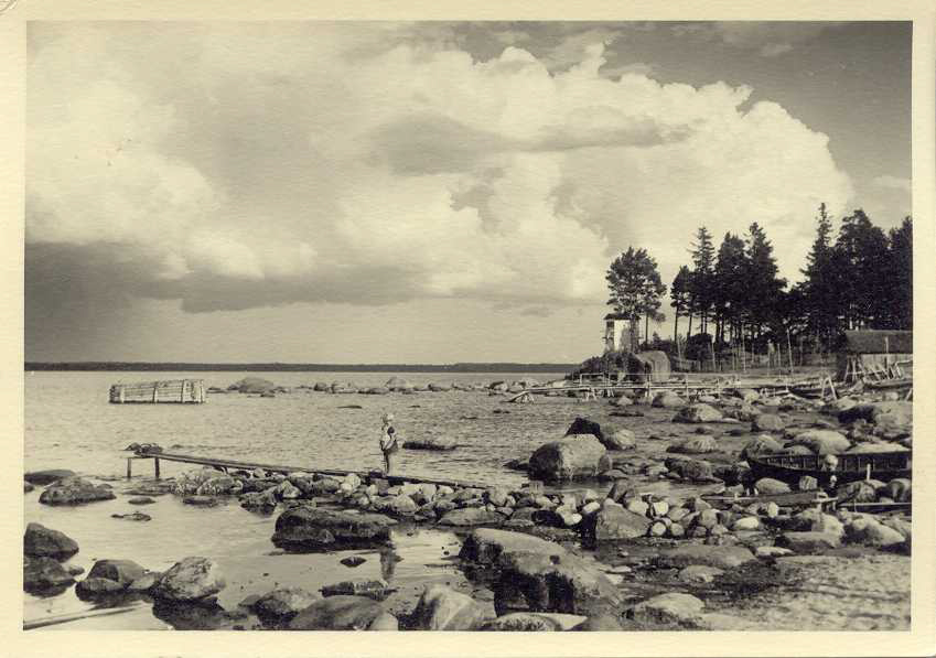
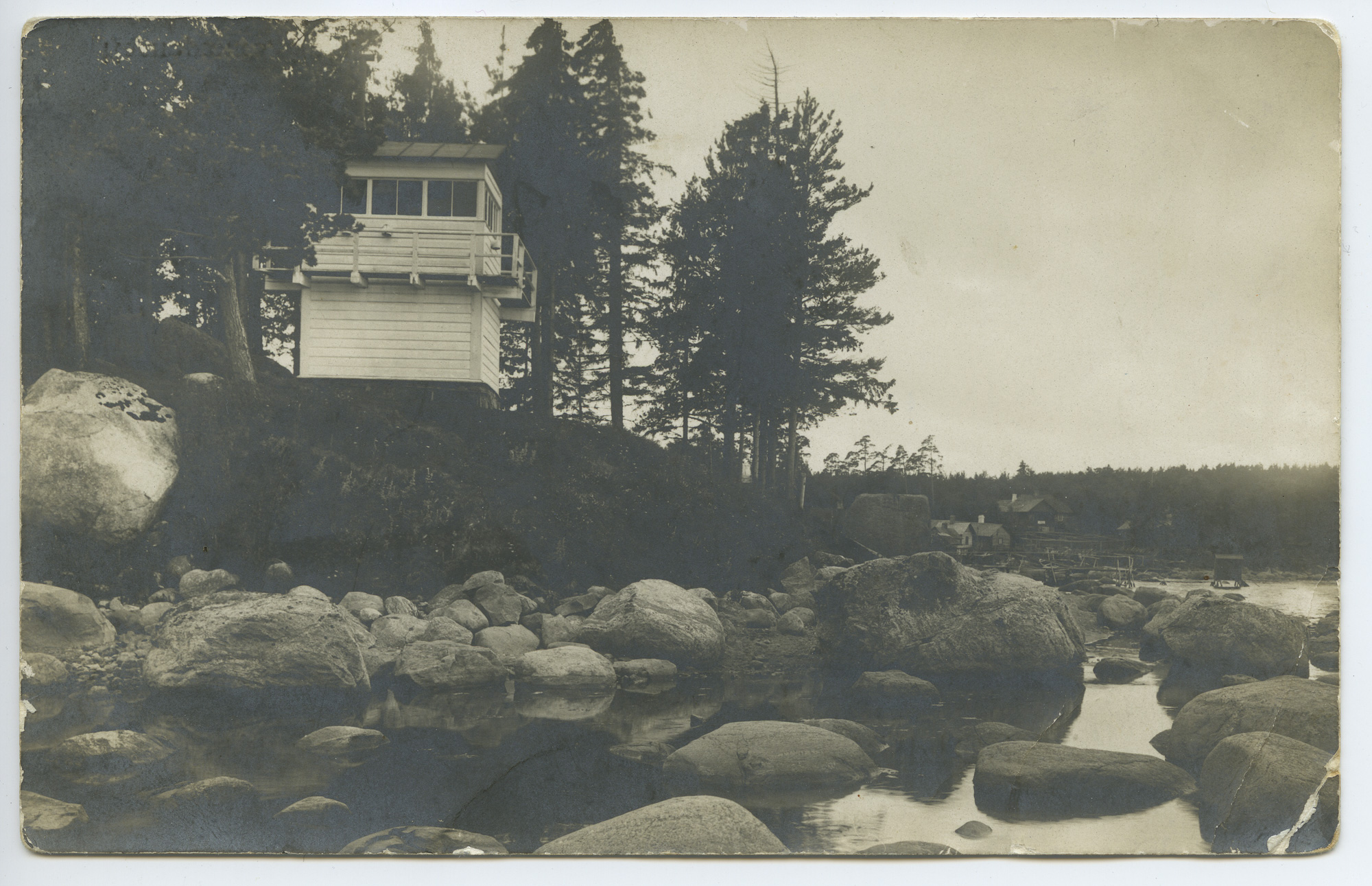
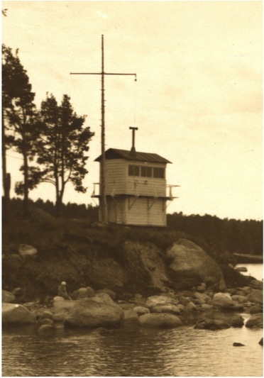
The former Käsmu lighthouse is located on the northern coast of Käsmu Bay (Kasperviik) on the higher cape hill on the western shore. With its green, white and red light sector, the lighthouse provided an opportunity to safely enter Käsmu Bay, where you could stay in a storm shelter near the lighthouse. For centuries, Käsmu Bay was considered the best port of refuge on the Tallinn-Narva shipping route. The initiator of the construction of the lighthouse was the leadership of the Käsmu Marine School. There are reports of collecting money for construction as early as 1889.
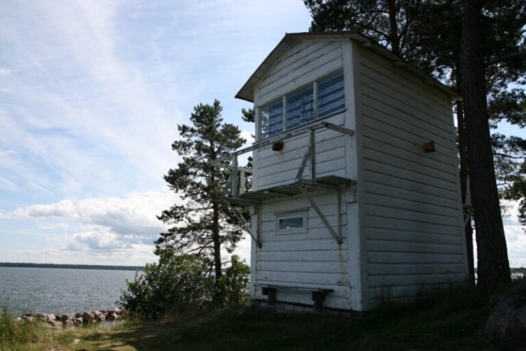
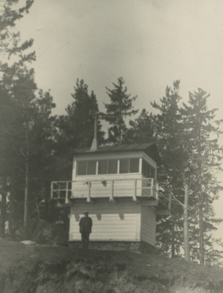
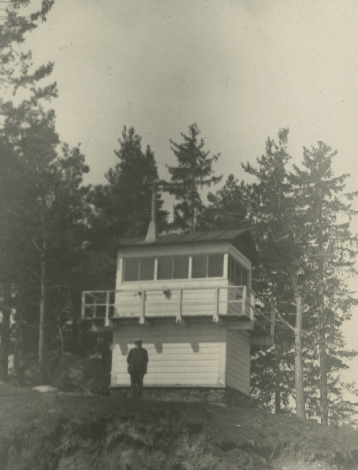
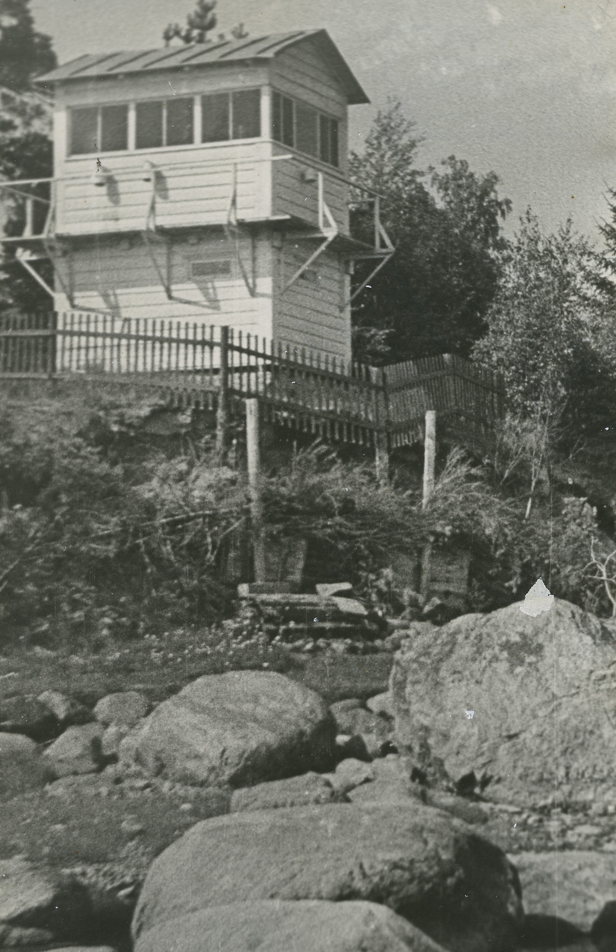
The 6 m high lighthouse with white painted walls, somewhat reminiscent of a wooden pavilion, started operating in 1892. The lighthouse was equipped with a single-stage kerosene lamp and a dioptric apparatus, with a light height of 8.2 m above sea level and a visibility distance of 6 miles. The windows of the lantern room were divided by colored glass, where the western bay mouth was marked by a green light, the safe entry area by a white light and the eastern bay mouth by a red light. From 1900 at the latest, the lighthouse operated with a flashing light. By 1921, the Käsmu lighthouse was working with acetylene. In 1922, the light's visibility was 13 miles. The character of the fire remained like this until 1988.
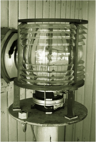
1950. for 2018, the light sectors of the lighthouse were: green 349°–358.5°; white 358.5°– 19°; red 19°–155°. This division was in use until 1993. The light visibility distance of a lantern with a 300 mm lens converted to electric light was: white 7 miles, red 5 miles, green 3 miles. Around 1993, the lighthouse stopped showing light, and the seamark remained in the account as a daily mark until 2004, when it was excluded from the data set of navigational marks.
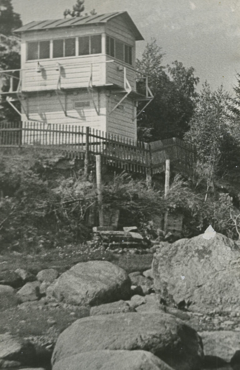
The lighthouse has repeatedly been in danger of collapsing due to the onslaught of the sea, but thanks to the fortification of the beach and the repair of the structures, it has generally preserved its original appearance to this day. There were no service buildings, as the lighthouse was serviced by a lighthouse keeper living in the village. To enter the Käsmu bay, the target 12° of the Käsmu lighthouse and the Ilumäe church tower has also been used during the day.
Although the Käsmu lighthouse cannot be found on the newer navigational lists and sea charts, it is under national protection as a cultural monument as a unique lighthouse built as a private initiative of the Käsmu Maritime School and sailors.